Study projects that increasing wildfires in Canada and Siberia will actually slow global warming

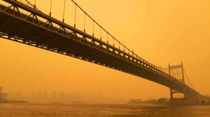
Even if you live far from the boreal forests in Canada and Siberia, you’ve likely noticed an increase in smoke from their forest fires. During major blazes in 2023, the smoke oranged the New York sky and drifted as far south as New Orleans. These blazes have surged in the last decade due to the effects of climate […]

