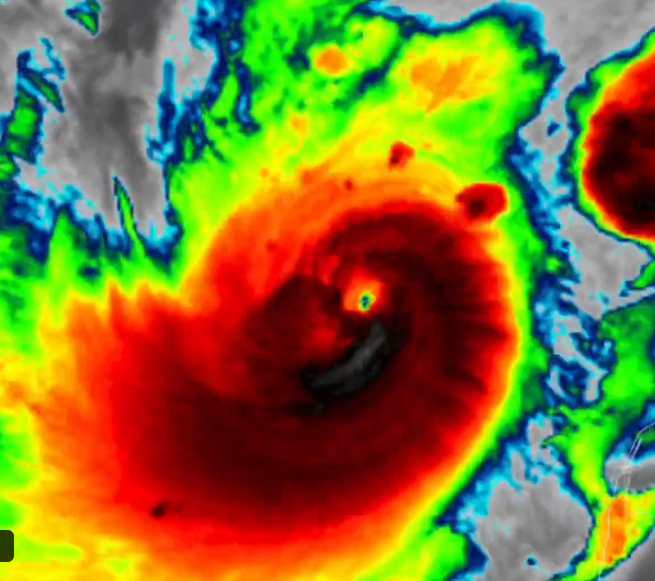
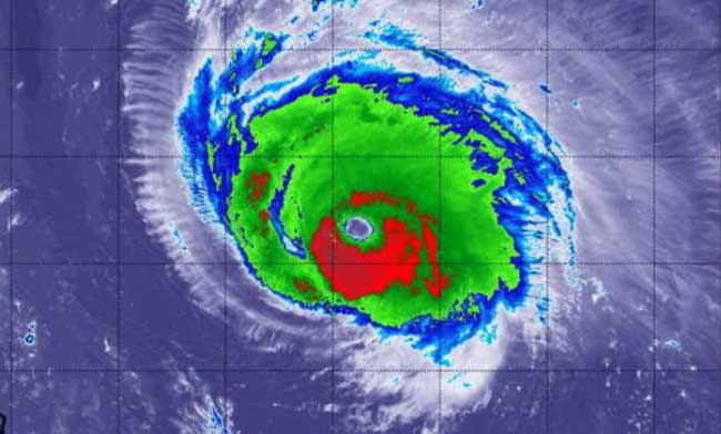
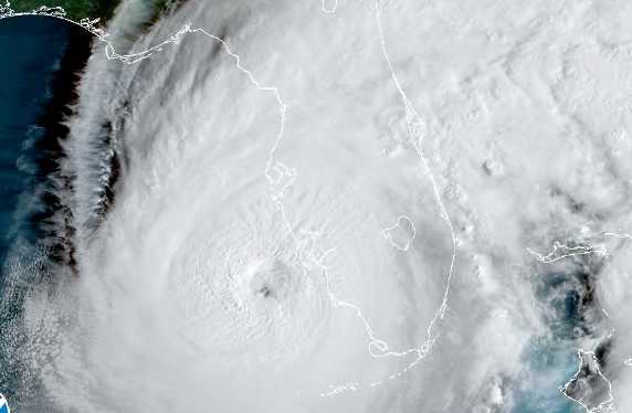
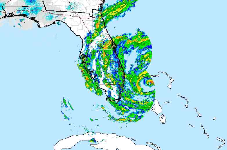
FLORIDA-Irene, the first hurricane of the 2011 season is now headed toward the Eastern Seaboard of the U.S. This hurricane, now a category 2, is on track to develop into a category 4 hurricane as it moves into the warmer waters at a speed of 12 miles per hour and into areas of low wind shear along the eastern seaboard.
It is predicted that the hurricane will skirt the shores of Florida and then move toward the Carolinas. The hurricane will move past Georgia without much rainfall for that region. This is unfortunate for the cotton and peanut growers of that state who have been suffering from severe drought conditions of late.
Alex Sosnowski the senior meteorologist at Accuweather reports that this hurricane could indeed follow the path of Bertha in 1996 and not provide much rainfall for the region. He also warns of winds upwards of 100 miles an hour or more and urges people located on the eastern part of the Carolinas to keep track of the movement of this system and to prepare evacuation plans.
Meteorologists predict that Irene will develop into a major hurricane as it makes landfall this weekend.


