The Department of Homeland Security Science and Technology Directorate (DHS S&T), in collaboration with other DHS components and state and local emergency management agencies, has released the fourth generation of the Virtual USA® (vUSA) prototype.
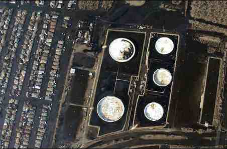
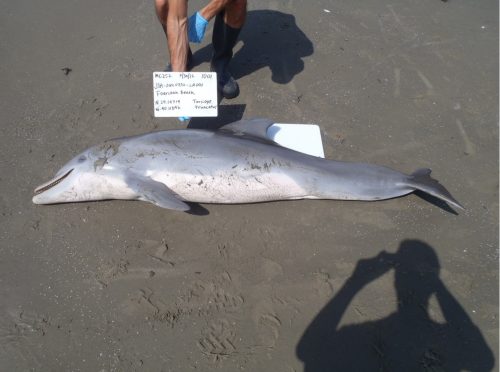
vUSA is a trusted web-based environment where users can share and get data from internal and external libraries of information. Since its inception, it has been used to assist in the response efforts for major disasters including the 2010 Deepwater Horizon oil spill and 2011 Mississippi River floods. Most recently, the state of Oregon used vUSA to respond to flooding and winter storm events in January 2012.
vUSA enables users to share real-time information, such as traffic conditions and road closures, event locations, evacuation areas and routes, and hospital status. To keep information current, wherever possible, users share live data feeds rather than static documents.
Virtual USA is a national model for seamlessly integrating disparate information management applications – from numerous sources – to enable more effective multi-jurisdictional and multi-disciplinary information-sharing during emergencies. The ability to share information is critical to first responders’ understanding of a situation and it enables better decision making. In the vUSA model, users maintain complete control over what data is shared, with whom, and for how long. Users share information using data standards and can display partners’ data in their agency’s own native operational map viewer.
The system is free to all participants and builds upon each jurisdiction’s own investments in systems and data. This not only saves money by avoiding costly new hardware, software, data development and training, but it allows states to continue to use the existing systems and data that best suit their specific requirements. Since Virtual USA is a data pipeline connecting existing, self-sustaining systems, the environment is also naturally resilient. Therefore, vUSA is not at risk for “going down” should a state system face challenges.
Where previous generations of vUSA allowed sharing only between high-level partner organizations like states, federal agencies, and private companies, the new operational prototype provides increased flexibility and precision. With Generation IV, partners can now divide their users into sub-organizations that accurately reflect daily operations.
“Virtual USA was originally developed for the state level. The latest generation expands participation and is much more granular. Now, users can share data not only with state emergency operation centers, but also at the county, municipal, and tribal levels. This is a significant enhancement because now it is a tool available to local first responders,” said Marc Caplan, S&T program manager.
States can be broken down into their participating counties, cities, and towns; agencies into their departments or regions; and companies into their internal divisions. Sub-organizations in turn can have internal divisions, such as a police department within a city. Generation IV even supports direct person-to-person and group-to-group sharing. It also has the ability to share with two new organizational types: Tribes and Special Purpose Districts — Independent governmental units that serve limited areas i.e. water ports, airports, parks, cemeteries, libraries, hospitals etc..
Generation IV makes vUSA useful not only for coordinating response to major emergencies, but also for local incidents and special events. For convenience, users can save their frequently used share patterns as one-click, reusable groups. To further increase flexibility and control, Generation IV adds the ability to create Special Sharing Groups, where temporary teams partner to handle emergencies or specific events. Membership in Special Sharing Groups is by personal invitation only.
“My Library Widget” has been updated, too. This widget, inserted into a jurisdiction’s own viewer, streamlines access to vUSA libraries and adds new forms of data display.
S&T has tested the use of vUSA in several locations, including the Southeast and Pacific Northwest. “The series of pilots were an opportunity where we could demonstrate the capability and get feedback from first responders in order to meet the community’s needs,” said Caplan.
This past May, the Central U.S. Earthquake Consortium member states also used vUSA as part of a pilot to assist in developing an enduring regional information sharing capability to improve situational awareness, coordination, and decision making in the event of a disaster. This information sharing capability was demonstrated at the 2011 National Level Exercise, an exercise based on the response to a simulated earthquake scenario. Currently, S&T is conducting a vUSA pilot in the Northeast.
Like prior iterations of vUSA, Generation IV incorporated feedback from end users. The goal is to make the vUSA system a relevant and reliable tool for daily operations, so it will be familiar and trusted when major emergencies arise.
Virtual USA was initially launched in 2009 as part of the White House Open Government Initiative, which reflects the President Obama’s and Homeland Security Secretary Janet Napolitano’s commitment to making government more efficient and fostering a culture of transparency, participation, and collaboration.
“Our first responders need interoperable tools to make accurate and timely decisions during emergencies. Virtual USA makes it possible for new and existing technologies to work together seamlessly during disaster response and recovery and gives the public an opportunity to contribute information in real time to support the efforts of police officers, firefighters, and other emergency management officials,” Napolitano said of the initial release of vUSA in 2009.
For more information on vUSA, visithttps://www.firstresponder.gov/Pages/VirtualUSA.aspx. To access the platform, visit https://vusa.us.
Source: Homeland Security’s Science & Technology Directorate


