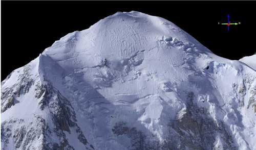
Making a New Map of Denali

A Fairbanks scientist recently made an intricate new map of Denali while crisscrossing its summit a few times in a single-engine airplane. His top-of-the-continent measurement was within a few feet of a GPS reading done a few years ago, using a system he calls fodar. Matt Nolan is a former University of Alaska Fairbanks faculty […]
