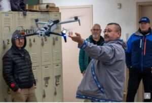
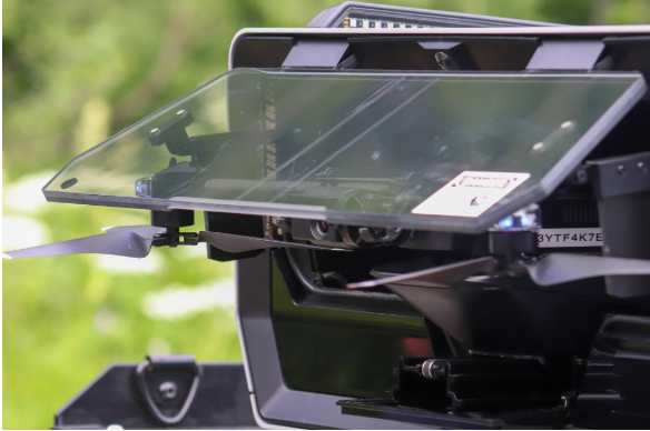
 (BETHEL, Alaska) – The Alaska Department of Transportation & Public Facilities (DOT&PF), under the US Department of Transportation’s Strengthening Mobility and Revolutionizing Transportation (SMART) Grant Program, is excited to announce the deployment of the Alaska Rural Remote Operations Work Plan (ARROW) in Bethel, Alaska. This week, ARROW has begun utilizing advanced drone technology from Skydio to support local communities in infrastructure inspections, documentation of the 300-mile Kuskokwim ice road, and enhancing search and rescue operations across the region.
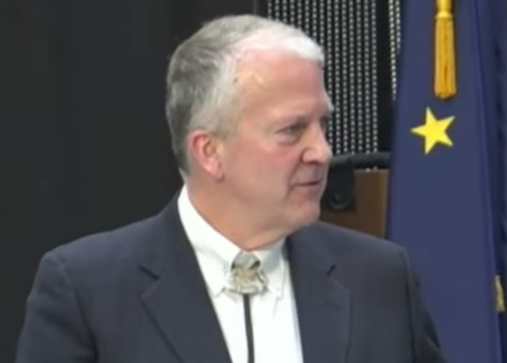
“This technology is another tool in the toolbox for communities to document and respond to a rapidly changing environment, and add crucial aerial support for search and rescue,” said Ryan Marlow, DOT&PF ARROW Grant program manager. The training program also welcomed US DOT representatives, including Dr. Robert Hampshire, who commended the drone pilots on their vision for improving the way of life in their communities. “What is exciting about this program is the ideas are generated by community advocates, like Clarence Daniel,” said US Department of Transportation Chief Scientist Doctor Robert Hampshire. “This project is locally run and operated and the vision for the US Department of Transportation is to work with local community partners to provide the resources and support through grants for local partners.”
Further integrating community involvement, representatives from International Brotherhood of Electrical Workers (IBEW) and Alcan Electric were on-site discussing opportunities for drone pilots to join the union under a new classification. This initiative not only aims to keep employment within the community but also provides on-the-job training for local projects, utilizing drones to create a sustainable local workforce for federal, state, and tribal projects.
“A group from our region talked about priorities and it came down to how can we make things safer for our travelers in our region, especially with non-traditional modes of transportation.” said Clarence Daniel, Community Development Director of the Association of Village Council Presidents and Alaska representative on the Tribal Transportation Program Coordinating Committee. “With this grant, we can improve safe travel on our trails for travelers from one village to another, which is important during dangerous times of the year.”
On Wednesday, April 10, the ARROW team reached a significant milestone by successfully demonstrating the operation of Unmanned Aerial Systems (UAS) over a cellular connection. This innovative approach utilized both LTE—the same technology your smartphone uses for fast data service—and signals from Starlink satellites orbiting close to Earth. This development drastically enhances the drones’ ability to communicate over long distances, beyond the usual limits of conventional connections.
In preparation for severe weather events, like the devastating Typhoon Merbok in 2022, ARROW introduces hand-carried drone technology and satellite connectivity for building crucial communication resiliency. This allows trained local drone operators to collect data on damaged infrastructure and community needs and rapidly create images and requests to response agencies via the cloud within hours of a disaster. Previously, data transfer required mailing hard drives to urban centers for processing, slowing down emergency response and the arrival of needed supplies and help. The use of cloud processing now ensures quick sharing of critical information, allowing resources to be efficiently allocated and prioritized for rural communities. This is crucial for prompt and effective search and rescue missions and responding to natural disasters.
View more about the program by following their updates here.
ARROW Program Initiates Drone Operations in Yukon Kuskowim to Boost Community Infrastructure and Safety from Alaska DOT&PF on Vimeo.
[content id=”79272″]


