• Search

Search in Site

Alaska Native News

  • HOME
  • Featured
  • General
  • World
  • National
  • State
  • Rural
  • Arctic
  • Science/Education
  • Health
  • At Sea
  • Politics
  • Weather
  • Tides
  • Entertainment
    • Your Horoscope
    • Daily Crossword/Sudoku
    • Comics
  • Opinions/Op/Ed/Letters
    • Op/Ed and the Editor
    • Submit Press Release, OP/ED or Letter to the Editor
  • Advertising
  • Contact Us
  • North Slope/Northwest Alaska
  • Interior Alaska
  • Southwest Alaska
  • Southcentral
  • Southeast Alaska
  • This Day in Alaskan History
  1. Home
  2. /
Home»

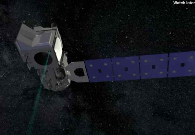
NASA Space Laser Missions Map 16 Years of Ice Sheet Loss
By Kate Ramsayer | NASA's Goddard Space Flight Center on Apr 30, 2020   Featured, Science/Education  

NASA Space Laser Missions Map 16 Years of Ice Sheet Loss

  Using data from the ICESat and ICESat-2 laser altimeters, scientists precisely measured how much ice has been lost from ice sheets in Antarctica and Greenland between 2003 and 2019. The Antarctic Peninsula, seen here, was one of the fastest changing regions of the continent. Credits: NASA / K. Ramsayer The results provide insights into how […]

NASA’s High-Flying Laser Altimeter to Check Out Summer Sea Ice and More

By Kate Ramsayer | NASA's Goddard Space Flight Center on Jul 11, 2014   Science/Education, The Arctic and Alaska Science  

  Sea ice in summer looks dramatically different than sea ice in winter, even in the polar Arctic. Summer snowmelt, pools of water on thinning ice and exposed ocean replace vast winter expanses of white snow-covered ice – and this weekend NASA’s high-flying laser altimeter begins a campaign to investigate these features. Icy areas look […]

  • Advertise with Us
  • Submit Press Release, OP/ED or Letter to the Editor
  • Contact Alaska Native News
  • DMCA
  • Privacy Policy
© 2023, ↑ Alaska Native News
Log in -