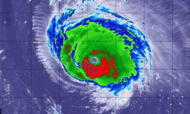
NOME-One of the worst Bering Sea storms on record continues to produce widespread strong winds and coastal flooding all along the west coast of Alaska. The storm in the northern Bering Sea continues to sport winds from 50 to 70 miles an hour with gusts expected up to 85 miles an hour throughout the morning. The winds have begun to switch more to the southwest and remain strong through the afternoon.
The storm surge is expected to build from its 7 foot level throughout the day, and peaking at mid-evening afternoon around Nome.The National Weather Service expects severe flooding and continued beach erosion through the day from Cape Romanzof to the Bering Strait with a rise in sea level of 8 to 10 feet. They are calling for sea levels to rise rapidly this morning. Beach erosion will be significant because of the lack of shore fast ice this time of year.
Blizzard conditions are expected to continue all day and those conditions are expected to spread north to the Point Hope and Kivelina area. Conditions are expected to worsen there as the day progresses. At 1:30 am this morning the conditions in Tin City had gusts of 85 miles per hour, 76 miles per hour at Savoonga, and 75 at Cape Lisbourne. Golovin has winds of 63 miles per hour at three a.m. this morning. Wales was experiencing gusts of 89 at 2:30 am.
The southwest tip of the Seward Peninsula is, at 6 am, experiencing 16 foot swell pounding the shores, the tide is rising for another four hours. There already have been reports of water under houses today. According to NOAA’s Hydrometeorological Prediction Center, waves of 40 feet have been generated in open water.
There are reports of power outages throughout the western Alaska region. There have also been reports of roofs being torn off by the high winds.
The coastal flood warning is in effect until Thursday.


