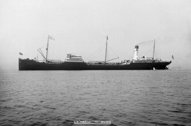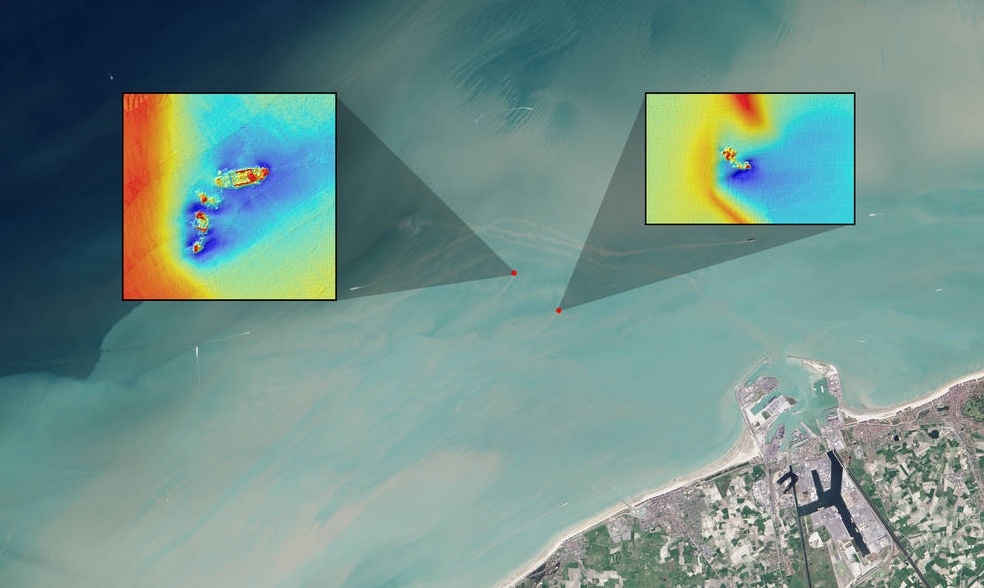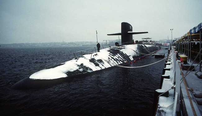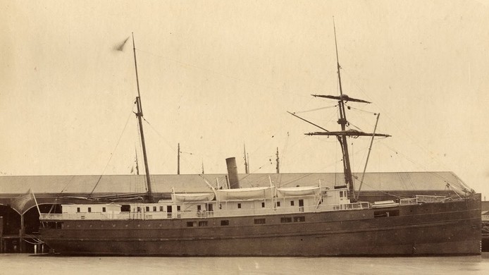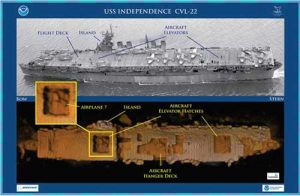
Sometimes, as in the cases of the famous Civil War ironclad USS Monitor off North Carolina, or the USS Bugara, a U.S. Navy submarine that received three battle stars for its service in World War II, we know where shipwrecks are.[xyz-ihs snippet=”adsense-body-ad”]For instance, NOAA, Navy and private industry used a remotely operated vehicle, a kind of underwater robot, to locate the USS Independence, a World War II light aircraft carrier. It was part of a two-year mission to locate, map and study historic shipwrecks in NOAA’s Greater Farallones National Marine Sanctuary and nearby waters. The carrier is one of an estimated 300 wrecks in the waters off San Francisco, and the deepest known shipwreck in the sanctuary. NOAA’s Office of National Marine Sanctuaries manages 13 national marine sanctuaries and two marine national monuments, and many of them harbor shipwrecks.
Using seafloor mapping sonars and autonomous underwater vehicles, NOAA ships sometimes spot wrecks when they’re surveying the ocean floor for other missions, or collecting other scientific data. Fishermen may hit something on the bottom with their gear or a diver may encounter an undiscovered wreck while exploring an area.
Once a shipwreck is located, historians and maritime archaeologists enter the scene usually by a remotely operated vehicle or ROV, cataloging but not removing artifacts, and putting them into perspective so we can understand what life was like for these sailors.
Source: NOAA

