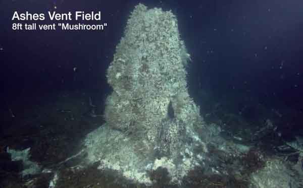
Oregon scientists who correctly predicted the 2011 eruption of the Axial Seamount underwater volcano years before it occurred, now say another underwater volcano off the Oregon coast gave off signals just hours before it erupted.
Underwater hydrophones showed a sudden increase inseismic energy about 2.6 hours before the eruption started about 400 kilometers off the Oregon coast, according to the scientific team. The development signals that it might eventually be possible to forecast eruptions of undersea volcanoes.
The scientists noticed a cyclic pattern of ground deformation measurements – which measures the changes in ground shape which can occur before, during and after an eruption – that suggests the Axial Seamount could also erupt again, perhaps as soon as 2018.
For four years before the 2011 eruption, marine geologistBob Dziak and other team members noted that, while there was a gradual build up in the number of small earthquakes, there was only a small increase in the overall seismic energy produced from those earthquakes. But, just a few hours before Axial erupted on April 6, 2011, that began to change.
“The hydrophones picked up the signal of literally thousands of small earthquakes within a few minutes, which we traced to magma rising from within the volcano and breaking through the crust,” Dziak said. “As the magma ascends, it forces its way through cracks and creates a burst of earthquake activity that intensifies as it gets closer to the surface.
Using seismic analysis, the team was able see just how the magma rose within the volcano about two hours before the eruption.
“Whether the seismic energy signal preceding the eruption is unique to Axial or may be replicated at other volcanoes isn’t yet clear,” said Dziak, “but it gives scientists an excellent base from which to begin.”
To make their findings, the Oregon team had some other unique tools at their disposal, including a one-of-a-kind robotic submersible used to bounce sound waves off the seafloor, allowing scientists to map the topography of the Axial Seamount before and after the eruption. Having a before-and-after map allowed geologists to clearly distinguish the lava flows from the 2011 eruption from the flows of previous eruptions in the area.
Over the next few years, the researchers will install a number of new underwater instruments and cables around Axial Seamount, which they say will help scientists monitor the ocean and seafloor off the Pacific Northwest.


