Imarpiamen qayanilu. – Don’t kayak in Shelikof Strait.
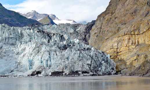
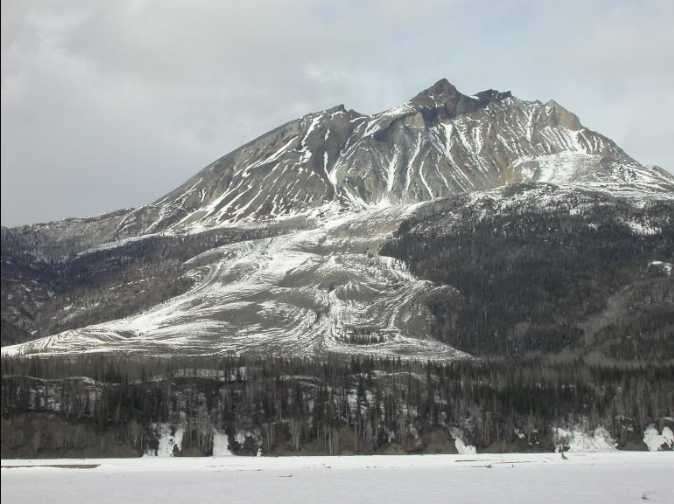
Shelikof Strait runs along the west coast of the Kodiak Archipelago, separating the islands from the Alaska Peninsula. It stretches about 240 km from the entrance to Cook Inlet to the southwestern end of Kodiak Island. The straight is a glacial trough, deeply incised into the sea floor by Pleistocene glaciers. Ice streaming out of Cook Inlet cut the trough, which is up to 280 m deep. This ice also carved the steep-sided headlands, forming dramatic rock walls like Cape Karluk and Cape Ugat that lies along the shore of the strait.
The Alutiiq name for the strait, Imarpiaq, comes from the root word for ocean and it translates as “real ocean”. This may be a reference to the Strait’s formidable marine conditions. Although relatively narrow, and easy to see across on a clear day, the strait has notoriously rough waters. Strong winds, heavy currents, and large daily tides can make boating treacherous. Nevertheless, Alutiiq paddlers crossed the strait regularly in both kayaks and open skin boats. An 1833 report notes that men from Karluk paddled across the strait each summer to hunt birds on the mainland. Moreover, the presence of ivory, antler, and volcanic stone in Alutiiq settlements indicate that people traded across the strait for thousands of years.
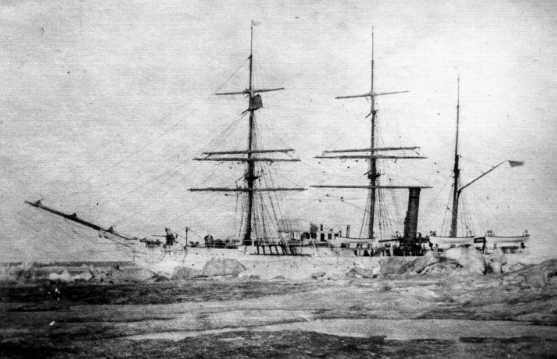
In the past two centuries, the strait has had many names reflecting European colonization in the Gulf of Alaska. These include Smokey Bay, Petrie Strait, Kenai Strait, Alaska Strait, and even Canal de Flores—Strait of Flowers. In 1831, Russian traders dubbed it Shelikof Strait after Siberian merchant Gregorii Shelikov, who founded the Russian colony at Three Saints Bay following the massacre at Refuge Rock.


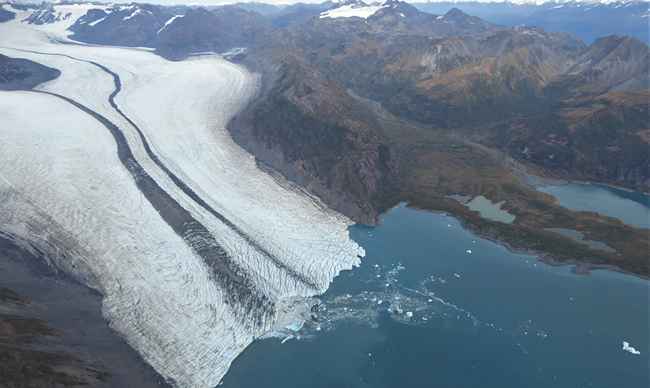

![A Decade of Exploring Alaska's Mountain Glaciers Yakutat Icefield, an expanse of ice of about 310 square miles in southeast Alaska, is considered by glaciologists to be among the ‘walking dead’. The icefield no longer has an accumulation zone – the upper part of a glacier, where mass gains from snowfall exceed ice loss. [NASA/Maria-José Viñas]](https://alaska-native-news.com/wp-content/uploads/glacier-2.jpg)
