Sitkalidak Island — Salliitaq, Saliitaq
Agyunitua Saliitamen ernerpak. – I do not want to go to Sitkalidak Island today.
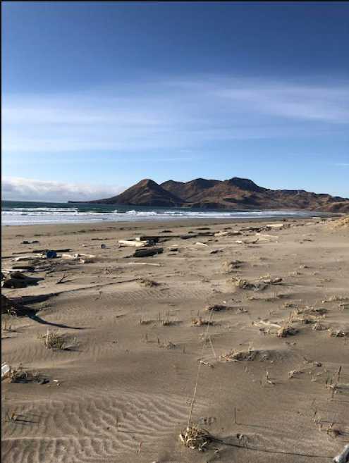
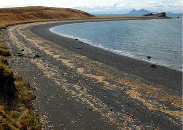
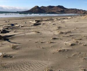
Sitkalidak is the third largest island in the Kodiak region. Twenty-three miles long, this rugged, mountainous landform lies off the eastern coast of Kodiak Island. Sitkalidak covers 116 square miles with peaks up to 2200 feet tall and long narrow bays that reach far into the island’s brushy interior. The island also features some spectacular sandy beaches, rare features along a typically rocky coast.
The name Sitkalidak is not an Alutiiq word. It is thought to be a transliteration of the Alutiiq place name Salliitaq. Russian sources recorded the name in Cyrillic, which came to English and modern maps, as Sitkalidak.
Today, Sitkalidak has no resident population, but archaeological data indicate a rich history of settlement. Some of the oldest archaeological finds in the Kodiak region come from Sitkalidak. At the Tanginak Spring site, a very ancient settlement overlooking Tanginak Anchorage, archaeologists found stone tools and evidence of tents about 7,500 years old. Some of Kodiak’s earliest colonists stopped here to camp and manufacture tools. Other sites document settlement of the island by later Alutiiq societies, as well as historic whaling and ranching activities.
Today, the residents of Old Harbor use Sitkalidak’s lands. This Alutiiq community lies opposite Sitkalidak Island, overlooking the protected, narrow channel between Sitkalidak and Kodiak Island. Many of Sitkalidak’s lands belong to the Old Harbor Native Corporation or to village residents, who visit the island to hunt, fish, gather, and recreate.

