The Alaska Volcano Observatory will upgrade its volcano monitoring network throughout Alaska due to a $12 million budget increase through the U.S. Geological Survey.
The observatory, a joint program of the USGS, the University of Alaska Fairbanks Geophysical Institute and the Alaska Division of Geological and Geophysical Surveys, will replace aging equipment and increase staffing in an effort to both improve detection and warning of volcanic eruptions and understanding of what causes them.
“Basically, this is taking us a very big step out of the 1970s and into the modern era,” said Jeff Freymueller, coordinating scientist for the observatory and a geophysics professor at the UAF Geophysical Institute. “The analog equipment that we were using would be fully recognizable to an early 1970s field seismologist.”
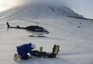
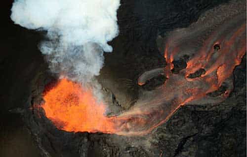
When a volcano is preparing to erupt, it often puts out telltale signs. Magma moving beneath the volcano can cause earthquakes or make the surface of the volcano bulge. The volcano may begin to release more gases. The Alaska Volcano Observatory records these signs to monitor and study Alaska’s hazardous volcanoes.
AVO monitors 33 of the 52 historically active volcanoes around Alaska. In the last 10 years, Freymueller said, cuts in funding have resulted in AVO being unable to repair and maintain all of the networks. Today, nearly half of the networks have become inoperable or impaired.
The constrained budget also prevented AVO from modernizing the networks to take advantage of collecting the data digitally, something it has been working on for several years, according to Thomas Murray, director of the USGS Volcano Science Center, which oversees the five volcano observatories in the U.S.
“It was only with this money coming in this year that we’ve finally been able to go in and really attack the problem and move from the old analog era to the digital era,” Murray said.
Often, earthquake activity tips off volcanologists to an upcoming eruption. In general, six to eight seismometers in a network around the volcano measure the vibration of the ground. Scientists use this data to determine where the earthquake took place, its intensity and what type of earthquake it was.
AVO’s old equipment collects analog data that includes many errors in the data that don’t reflect real events, Freymueller said. In addition, analog data can only detect movement up to a certain strength. Every stronger signal looks the same.
Digital equipment can collect more types of data about movement of the ground, Freymueller said. That could help seismologists tell the difference between a false signal, like wind gusting against the instrument, and a real volcanic signal.
“Additionally, the noise goes down because the stations are being digitized on site,” Murray said of the new equipment. “In the old analog system, the signals were sent back over old phone lines to be digitized here in Anchorage or at the Geophysical Institute in Fairbanks. All those things add up so that we can do a lot more and better analysis of what’s going on at the volcano.”
“It is a little bit like trading in your ratty old pair of glasses, where you can’t see very well, for a new pair that you can use to see more clearly. That doesn’t solve all your problems, but it does make everything easier,” Freymueller said.
Although the new instruments will immediately improve AVO’s ability to detect and warn of eruptions, the bigger payoff will come in several years after researchers have analyzed the data and better understand what drives volcanoes to erupt. The greatly improved data will lead to better monitoring tools and eruption models, Murray added.
Source: Geophysical Institute


