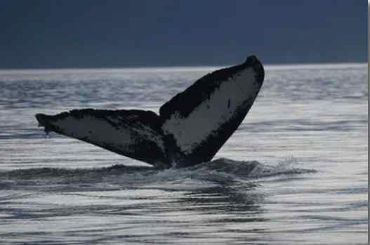
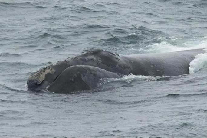
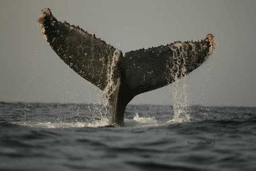
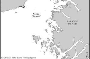
 Sunday’s aerial survey covered Sitka Sound from Povorotni Point to St. Lazaria Island and as far north as Hayward Strait and the Siganaka Islands. Survey conditions were mostly good with overcast skies and 20-knot winds. No herring schools were seen during the aerial survey, however, approximately 2.0 nautical miles (nmi) of herring spawn was seen around Shoals Point (Figure 1). Herring predators were difficult to see with abundant whitecaps, but predators were scattered across Sitka Sound. Sea lions and whales were seen along the eastern Kruzof shoreline from Shoals Point to Hayward Strait. Humpback whales were also seen outside of Deep Inlet, north and south of Long Island.
Department and industry vessels surveyed Sitka Sound from Makhnati Island to Long Island and the eastern Kruzof shoreline from St. Lazaria Island to Hayward Strait. Several very large schools of herring were located on sonar near Inner Point, St. Lazaria Island, and from Makhnati Island to Jamestown Bay. Additionally, several schools of herring were observed within regulatory closed waters in Crow Pass.
Four successful test sets were conducted today; the results are as follows:
| Time | Area | Tons | % Mature Roe | %Immature Roe | Avg Weight | % Female |
| 07:38 | Jamestown Bay | 150 | 9.7% | 1.8% | 136 g | 45.3% |
| 10:16 | Inner Point | 150 | 9.2% | 1.7% | 135 g | 44.4% |
| 13:09 | Indian River | 150 | 8.3% | 2.0% | 115 g | 36.8% |
| 13:22 | E. of Passage Isles | 150 | 6.8% | 3.3% | 104 g | 43.3% |
Herring mortality associated with test sets is likely minimal and there is no evidence that the small number of fish taken has any measurable impact on the subsistence fishery. Nevertheless, to ensure reasonable opportunity for subsistence harvest of herring roe would not be negatively impacted by test setting, prior to authorizing test fishing in this area the department considered the following: 1) the areas sampled today are outside the commercial closed waters and core subsistence areas; and 2) the fish encountered during test fishing represented a small fraction of the overall biomass in each area.
The next aerial survey and fishery update are scheduled for Monday, March 27. All aerial herring survey data can be reviewed online, including spawn lines and photos, in an interactive map application found at: https://www.adfg.alaska.gov/index.cfm?adfg=commercialbyareasoutheast.herring#maps.
Advisory Announcement web site: http://www.adfg.alaska.gov/index.cfm?adfg=cfnews.main
[content id=”79272″]
