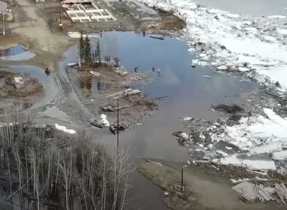
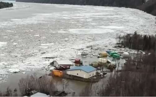
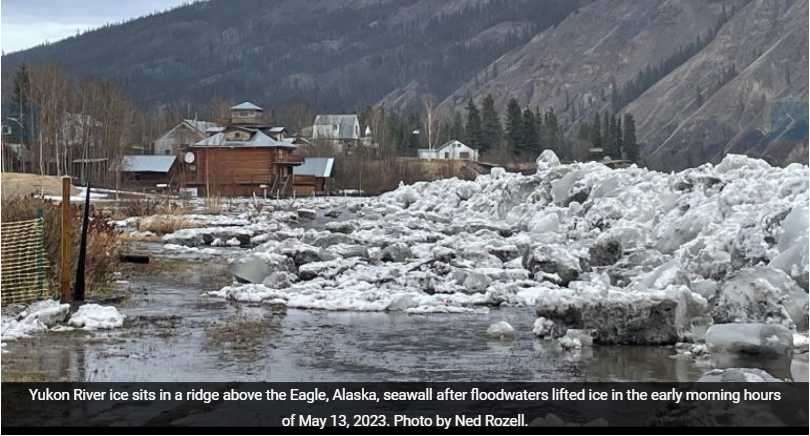
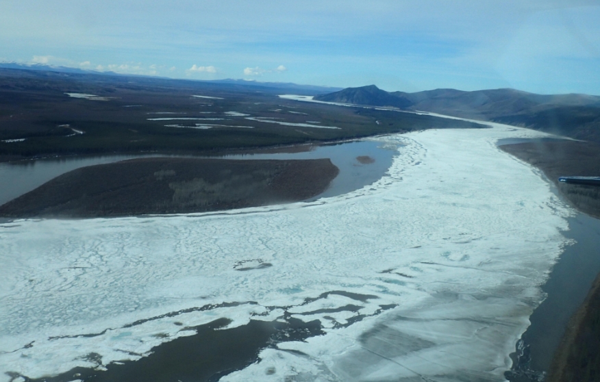
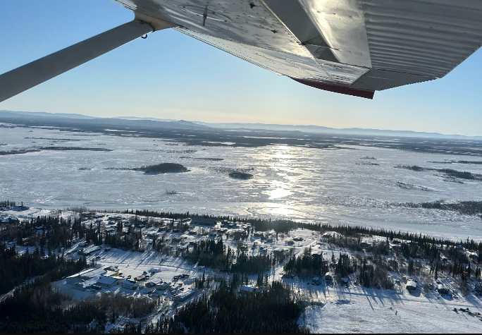
Communities see major flooding at the onset of spring break-up.
 JOINT BASE ELMENDORF-RICHARDSON, Alaska – Governor Mike Dunleavy issued a state disaster declaration after communities on the Yukon and Kuskokwim Rivers experienced major flooding due to ice jam. In addition, Glennallen experienced snow melt flooding in parts of the community near Moose Creek.
The declaration identifies communities in Alaska Gateway Regional Education Attendance Area (REAA) – City and Native Village of Eagle, Yukon Flats REAA – Circle, Kuspuk REAA – Crooked Creek, and Copper River REAA – Glennallen as eligible for assistance, but additional communities may be added based on developing needs.
The disaster declaration will reimburse communities for eligible emergency protective measures and activates the state’s Public Assistance and Individual Assistance disaster recovery programs. Public Assistance helps communities, and some non-profits, restore critical infrastructure to a pre-disaster condition and can reimburse emergency response costs. Individual Assistance can provide individuals and households with disaster recovery grants and temporary housing assistance if their primary residence is impacted.
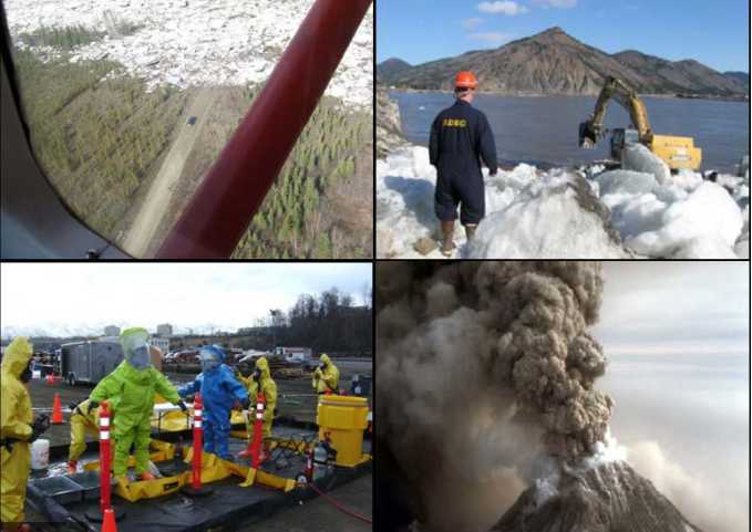
Emergency Management Specialists from the State Emergency Operations Center have deployed to support response for Kuskokwim and Yukon River communities and Glennallen.
State River Watch teams on the Yukon and Kuskokwim have reported major flooding in Crooked Creek and Circle with additional flooding in Red Devil, Sleetmute, Glennallen, and Eagle. Flood Warnings are in effect for Crook Creek and Fort Yukon. Flood Watches are in affect for Beaver Stevens Village, and Aniak.
“There are many communities downstream from the communities currently flooding. As the break-up front moves down river we could see additional flooding,” said Governor Mike Dunleavy. “We will make sure flood impacted communities receive critical life saving assistance while we simultaneously provide information and warnings to those who could still be impacted by ice jams. This is a dynamic situation that is changing on an hour-by-hour basis.”
River Watch, a partnership between the National Weather Service Alaska Pacific River Forecast Center and the State of Alaska Division of Homeland Security and Emergency Management, is conducting aerial observation of ice conditions and is providing up-to-date information to river communities. Two River Watch teams launched on May 8 to observe the Upper Yukon and Kuskokwim Rivers. The River Watch teams provided Circle, Crooked Creeks, and other communities with advanced warning and are now assisting with emergency response.
The State Emergency Operation Center has been activated to Level 3 – Active Incident Response – and is coordinating with the Alaska State Troopers, Department of Environmental Conservation, Department of Transportation and Public Facilities, Alaska National Guard, Voluntary Organizations Active in Disasters, National Weather Service, Donlin Gold, Alaska Energy Authority, Tanana Chief’s Conference, Association of Village Council Presidents, Yukon Kuskokwim Health Corporation, Federal Emergency Management Agency, and other organizations.
Resources:
Overview of the River Watch program: https://youtu.be/NcdHTMlKaKMd
Break up map at https://www.weather.gov/aprfc/breakupMap
Fresh Eyes on Ice https://www.facebook.com/groups/FreshEyesOnIce
Flood Preparedness Checklist Link
###[content id=”79272″]

